Precision Agriculture & Irrigation Intelligence
Manage land, water, soil nutrients, and solar pumping energy with geodesic accuracy. FarmOS builds spatial field registries, FAO-56 irrigation planning tools, and soil diagnostic workflows grounded in arid and semi-arid farming experience.
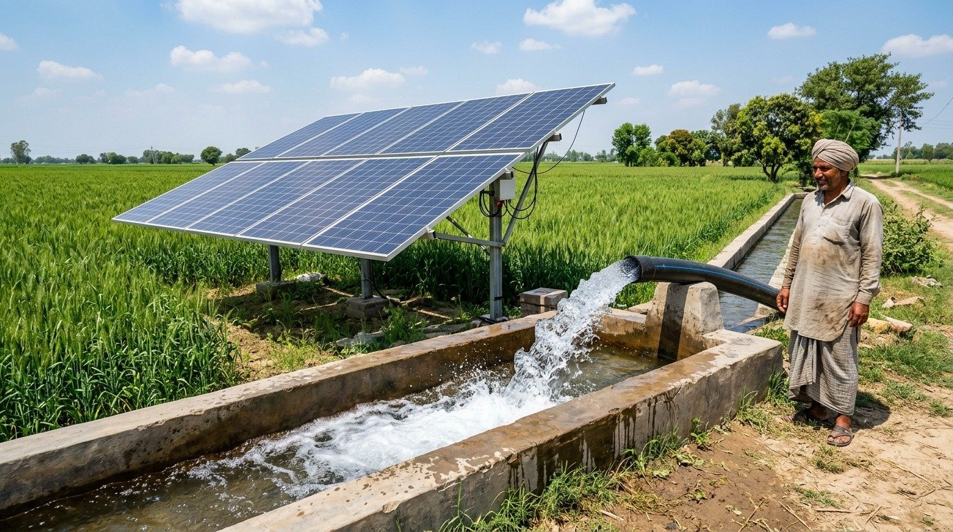
Validated on surveyed drip irrigation blocks at Albadar Farm (25.95 acres / 105,016 m² and 29.54 acres / 119,529 m²) powered by a 44 kW solar array and 40 HP tubewell.
Spatial Mapping, Water Planning & Soil Intelligence
These capabilities can be deployed as standalone tools for your agronomy team or integrated into a unified farm management platform.
1. Spatial GIS Field Mapping & Digital Twin
Import GPS/satellite survey polygons (GeoJSON / PostGIS WGS84) and automatically compute geodesic area in square meters, acres, hectares, kanal, and marla, alongside perimeter and centroid coordinates.
2. FAO-56 Irrigation Intelligence & Scheduling
Calculate crop water demand (ETc = ET0 × Kc) adjusted for crop stage, sandy-soil infiltration, and drip vs. flood application efficiency—estimating gross water volume (m³) and pump runtime hours.
3. Soil Lab Diagnostics & Organic Regeneration
Record soil lab results (pH, ECe salinity, organic matter %, N-P-K, Zinc, Boron) and generate rule-based agronomic recommendations for calcareous and sandy soils, including farmyard manure/compost and split fertigation schedules.
4. Solar Pumping, Weather & Remote-Sensing Readiness
Track solar vs. grid pump operating hours, water reservoir status, and manual satellite/drone survey imports, with clean adapter interfaces ready for live weather APIs, flow meters, and Sentinel-2 NDVI feeds when configured.
FarmOS does not claim autonomous pump actuation or verified water savings without physical flow meters and field gateways. Any command attempting to actuate irrigation hardware is guarded by a mandatory human confirmation interlock and audit log.
Discuss a Precision Agriculture or Irrigation Project
Tell us about your acreage, irrigation setup (drip, sprinkler, flood, solar tubewell), and whether you need GIS mapping, irrigation planning software, or sensor integration.